Santo Amaro | |
|---|---|
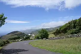 Main road in the parish of Santo Amaro, near the main settlement, Calheta, São Jorge | |
 Santo Amaro Location in the Azores 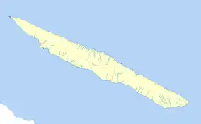 Santo Amaro Santo Amaro (São Jorge) | |
| Coordinates: 38°40′55″N 28°11′24″W / 38.68194°N 28.19000°W | |
| Country | |
| Auton. region | Azores |
| Island | São Jorge |
| Municipality | Velas |
| Area | |
| • Total | 22.53 km2 (8.70 sq mi) |
| Elevation | 283 m (928 ft) |
| Population (2011) | |
| • Total | 862 |
| • Density | 38/km2 (99/sq mi) |
| Time zone | UTC−01:00 (AZOT) |
| • Summer (DST) | UTC±00:00 (AZOST) |
| Postal code | 9800-525 |
| Area code | 292 |
| Patron | Santa Amaro |
Santo Amaro is a parish in the district of Velas in the Azores. The population in 2011 was 862,[1] in an area of 22.53 km².[2] It contains the localities Areias, Biscoitos, Boa Hora and Santo Amaro.
References
This article is issued from Wikipedia. The text is licensed under Creative Commons - Attribution - Sharealike. Additional terms may apply for the media files.