Sennfeld | |
|---|---|
 Church of Saint Elisabeth | |
 Coat of arms | |
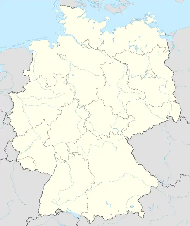
Location of Sennfeld within Schweinfurt district  | |
 Sennfeld  Sennfeld | |
| Coordinates: 50°1′N 10°16′E / 50.017°N 10.267°E | |
| Country | Germany |
| State | Bavaria |
| Admin. region | Unterfranken |
| District | Schweinfurt |
| Government | |
| • Mayor (2017–23) | Oliver Schulze[1] (FW) |
| Area | |
| • Total | 6.98 km2 (2.69 sq mi) |
| Elevation | 214 m (702 ft) |
| Population (2022-12-31)[2] | |
| • Total | 4,612 |
| • Density | 660/km2 (1,700/sq mi) |
| Time zone | UTC+01:00 (CET) |
| • Summer (DST) | UTC+02:00 (CEST) |
| Postal codes | 97526 |
| Dialling codes | 09721 |
| Vehicle registration | SW |
| Website | www.sennfeld.de |
Sennfeld is a municipality in the district of Schweinfurt in Bavaria, Germany. Historically, along with its neighboring village of Gochsheim, it had the rare situation of being a Reichsdorf or Imperial Village.
References
- ↑ Liste der ersten Bürgermeister/Oberbürgermeister in kreisangehörigen Gemeinden, Bayerisches Landesamt für Statistik, accessed 19 July 2021.
- ↑ Genesis Online-Datenbank des Bayerischen Landesamtes für Statistik Tabelle 12411-003r Fortschreibung des Bevölkerungsstandes: Gemeinden, Stichtag (Einwohnerzahlen auf Grundlage des Zensus 2011)
This article is issued from Wikipedia. The text is licensed under Creative Commons - Attribution - Sharealike. Additional terms may apply for the media files.