Shuwayrin
شويرين | |
|---|---|
Village | |
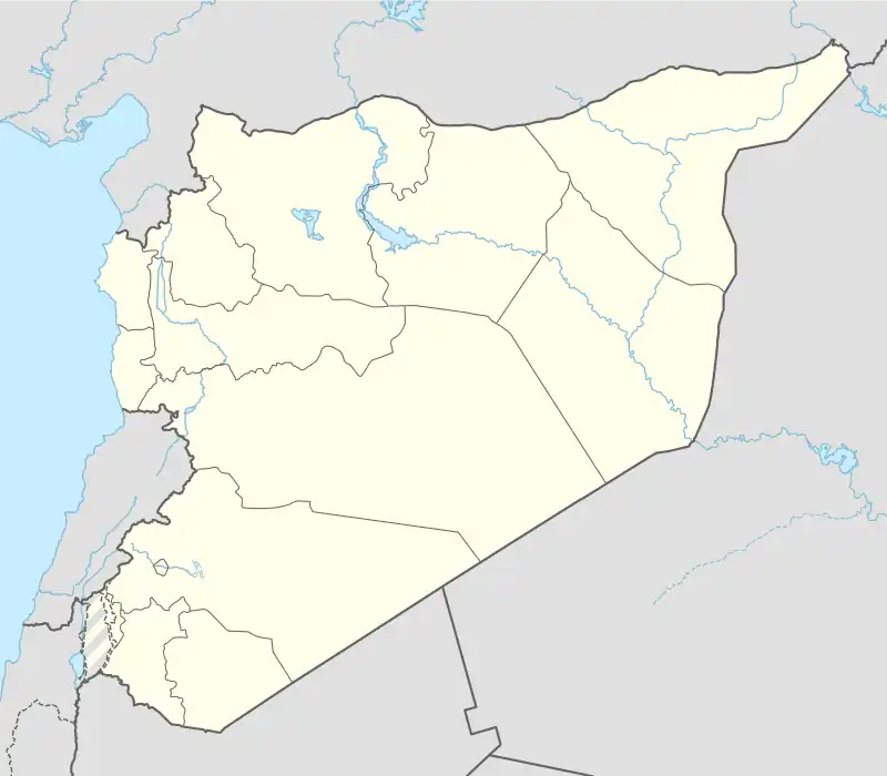 Shuwayrin Location of Shuwayrin in Syria | |
| Coordinates: 36°34′57″N 37°17′35″E / 36.5825°N 37.2931°E | |
| Country | |
| Governorate | Aleppo |
| District | Azaz |
| Subdistrict | Sawran |
| Elevation | 465 m (1,526 ft) |
| Population (2004)[1] | 695 |
| Time zone | UTC+2 (EET) |
| • Summer (DST) | UTC+3 (EEST) |
| Geocode | C1660 |
Shuwayrin (Arabic: شويرين, romanized: Shwīrīn; Turkish: Şiferin), alternatively spelled Shweirin or Shurin, is a village in northern Aleppo Governorate, northwestern Syria. Located halfway between Azaz and al-Rai, some 40 kilometres (25 mi) north of the city of Aleppo and 9 km (5.6 mi) south of the border with the Turkish province of Kilis, the village administratively belongs to Nahiya Sawran in Azaz District. Nearby localities include Rael 2 km (1.2 mi) to the northwest and Duwaybiq 3 km (1.9 mi) to the southwest.
Demographics
In the 2004 census, Shuwayrin had a population of 695.[1] The village is inhabited by Turkmen.[2] In late 19th century, traveler Martin Hartmann noted Shuwayrin as a Turkish village of 20 houses, then located in the Ottoman nahiyah of Azaz-i Turkman.[3]
References
- 1 2 "2004 Census Data for Nahiya Sawran, Aleppo Governorate" (in Arabic). Syrian Central Bureau of Statistics. Also available in English: UN OCHA. "2004 Census Data". Humanitarian Data Exchange.
- ↑ Suriye'de Değişimin Ortaya Çıkardığı Toplum: Suriye Türkmenleri (PDF) (Report) (in Turkish). ORSAM. 14 November 2011. p. 13. Retrieved 14 April 2023.
- ↑ Hartmann, Martin (1894). Das liwa Haleb (Aleppo) und ein Teil des Liwa Dschebel Bereket. Berlin: W. Pormetter. p. 95. Retrieved 30 November 2022.
schwērin 20 T
Capital: Aleppo | ||||||||||||||||||||
|   | |||||||||||||||||||
|
| ||||||||||||||||||||
| ||||||||||||||||||||
| ||||||||||||||||||||
| ||||||||||||||||||||
| ||||||||||||||||||||
| ||||||||||||||||||||
| ||||||||||||||||||||
| ||||||||||||||||||||