Siyari Rural Municipality
सियारी गाउँपालिका | |
|---|---|
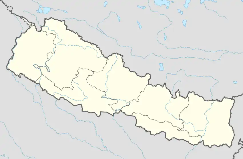 Siyari Rural Municipality Location in Nepal | |
| Coordinates: 27°33′58″N 83°24′05″E / 27.566241°N 83.401469°E | |
| Country | |
| Province | Lumbini Province |
| District | Rupandehi District |
| Area | |
| • Total | 66.17 km2 (25.55 sq mi) |
| Population | |
| • Total | 38,466 |
| • Density | 580/km2 (1,500/sq mi) |
| Time zone | UTC+5:45 (Nepal Time) |
| Website | http://siyarimun.gov.np/ |
Siyari Rural Municipality (Nepali :सियारी गाउँपालिका) is a Gaunpalika in Rupandehi District in Lumbini Province of Nepal. On 12 March 2017, the government of Nepal implemented a new local administrative structure, with the implementation of the new local administrative structure, VDCs have been replaced with municipal and Village Councils. Siyari is one of these 753 local units.[1][2]
There are 7 wards in Siyari Gaunpalika which is a combination of former Chilhiya, Mainahiya, Harnaiya, Dayanagar and West Amawaa VDC.
References
- ↑ "सम्मरीमाई गाउँपालिका | गाउँ कार्यपालिकाको कार्यालय फरेना, रुपन्देही, प्रदेश नं - ५, नेपाल". sammarimaimun.gov.np. Retrieved 2020-07-09.
- ↑ "सियारी गाउँपालिका | शिक्षा ,स्वास्थ्य ,कृषि ,पर्यटन र पूर्वाधार , सियारिको मूल आधार प्रदेश न.५". siyarimun.gov.np. Retrieved 2020-07-09.
This article is issued from Wikipedia. The text is licensed under Creative Commons - Attribution - Sharealike. Additional terms may apply for the media files.