| Snønuten | |
|---|---|
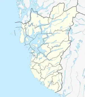 Snønuten Location of the mountain 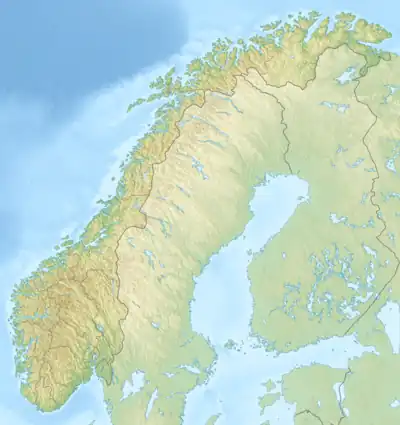 Snønuten Snønuten (Norway) | |
| Highest point | |
| Elevation | 1,604 m (5,262 ft) |
| Prominence | 555 m (1,821 ft) |
| Isolation | 24 km (15 mi) |
| Coordinates | 59°31′12″N 06°51′48″E / 59.52000°N 6.86333°E |
| Geography | |
| Location | Rogaland, Norway |
Snønuten is a mountain in the municipality of Suldal in Rogaland county, Norway. The 1,606-metre (5,269 ft) mountain lies about 35 kilometres (22 mi) east of the village of Sand. The mountains Kaldafjellet, Leirnuten, and Steinkilenuten all lie to the southeast of Snønuten.[1]
See also
References
- ↑ Lauritzen, Per Roger, ed. (2009). "Kaldafjellet". Norsk Fjelleksikon (in Norwegian). Arendal: Friluftsforlaget. ISBN 9788291495477.
This article is issued from Wikipedia. The text is licensed under Creative Commons - Attribution - Sharealike. Additional terms may apply for the media files.