Staraya Tabaga
Старая Табага | |
|---|---|
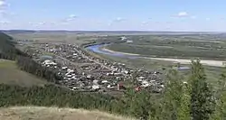 View of Staraya Tabaga | |
Location of Staraya Tabaga | |
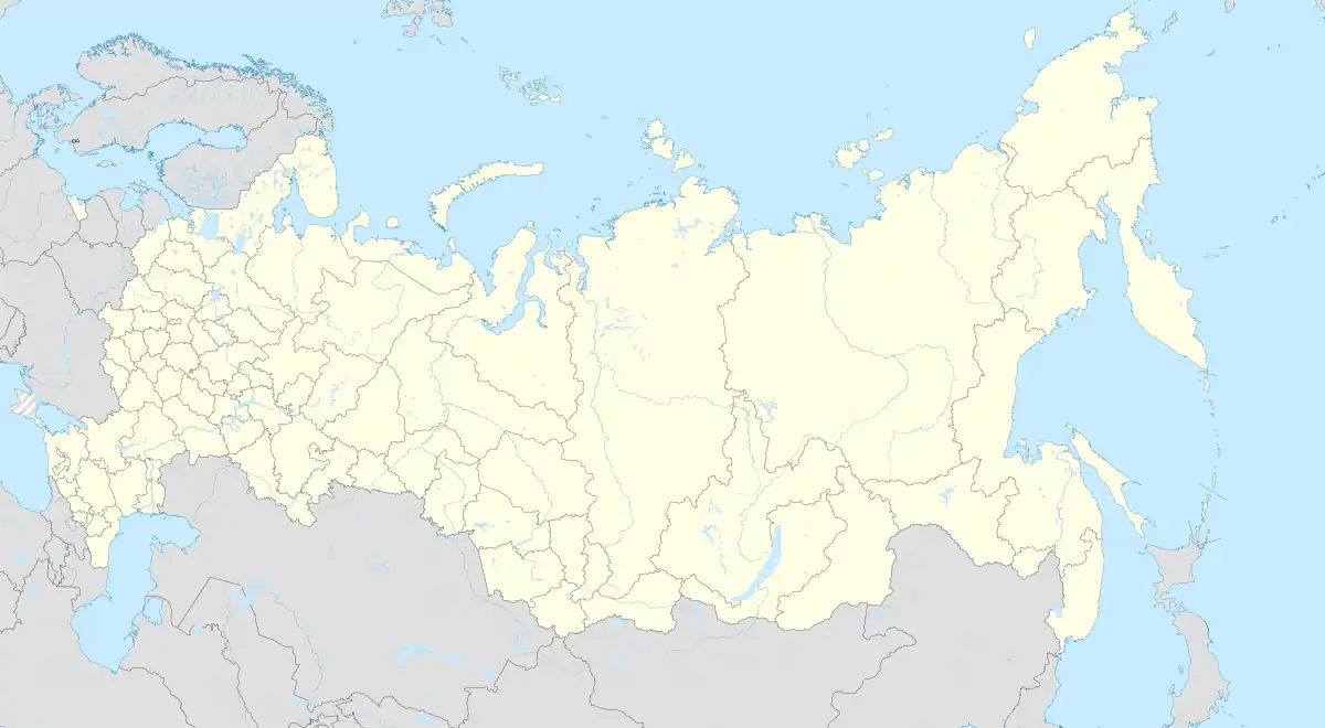 Staraya Tabaga Location of Staraya Tabaga  Staraya Tabaga Staraya Tabaga (Sakha Republic) | |
| Coordinates: 61°49′N 129°39′E / 61.817°N 129.650°E | |
| Country | Russia |
| Federal subject | Sakha Republic[1] |
| Elevation | 97 m (318 ft) |
| Population | |
| • Total | 692 |
| • Subordinated to | city of republic significance of Yakutsk[1] |
| • Urban okrug | Yakutsk Urban Okrug |
| Time zone | UTC+9 (MSK+6 |
| Postal code(s)[4] | 677911 |
| OKTMO ID | 98701000111 |
Staraya Tabaga (Russian: Ста́рая Табага́; Yakut: Эргэ Табаҕа, Erge Tabağa) is a rural locality (a selo) under the administrative jurisdiction of the city of republic significance of Yakutsk in the Sakha Republic, Russia.[1] Its population as of the 2010 Census was 692.[2]
References
Notes
- 1 2 3 4 Registry of the Administrative-Territorial Divisions of the Sakha Republic
- 1 2 Sakha Republic Territorial Branch of the Federal State Statistics Service. Results of the 2010 All-Russian Census. Численность населения по районам, городским и сельским населённым пунктам (Population Counts by Districts, Urban and Rural Inhabited Localities) (in Russian)
- ↑ "Об исчислении времени". Официальный интернет-портал правовой информации (in Russian). June 3, 2011. Retrieved January 19, 2019.
- ↑ Почта России. Информационно-вычислительный центр ОАСУ РПО. (Russian Post). Поиск объектов почтовой связи (Postal Objects Search) (in Russian)
Sources
- Official website of the Sakha Republic. Registry of the Administrative-Territorial Divisions of the Sakha Republic. Yakutsk Urban Okrug. (in Russian)
This article is issued from Wikipedia. The text is licensed under Creative Commons - Attribution - Sharealike. Additional terms may apply for the media files.