Stuľany | |
|---|---|
Municipality | |
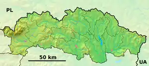 Stuľany Location of Stuľany in the Prešov Region 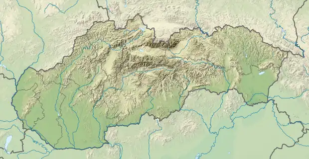 Stuľany Location of Stuľany in Slovakia | |
| Coordinates: 49°09′N 21°24′E / 49.150°N 21.400°E | |
| Country | |
| Region | Prešov |
| District | Bardejov |
| First mentioned | 1420 |
| Area | |
| • Total | 8.118 km2 (3.134 sq mi) |
| Elevation | 220 m (720 ft) |
| Population | |
| • Total | 600 |
| • Density | 74/km2 (190/sq mi) |
| Time zone | UTC+1 (CET) |
| • Summer (DST) | UTC+2 (CEST) |
| Postal code | 086 43 (pošta Koprivnica) |
| Area code | 421-54 |
| Car plate | BJ |
| Website | www |
Stuľany is a village and municipality in Bardejov District in the Prešov Region of north-east Slovakia.
History
In historical records the village was first mentioned in 1420
Geography
The municipality lies at an altitude of 220 metres and covers an area of 8.118 km². It has a population of about 600 people.
External links
This article is issued from Wikipedia. The text is licensed under Creative Commons - Attribution - Sharealike. Additional terms may apply for the media files.