Tall Shair
تل الشعير | |
|---|---|
Village | |
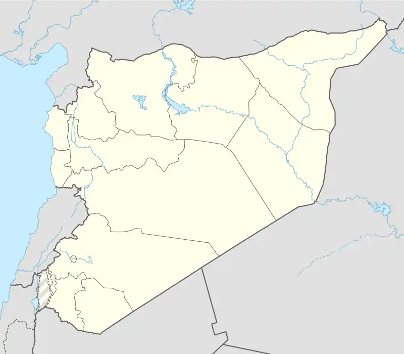 Tall Shair Location of Tall Shair in Syria | |
| Coordinates: 36°46′34″N 37°57′04″E / 36.7761°N 37.9511°E | |
| Country | |
| Governorate | Aleppo |
| District | Jarabulus |
| Subdistrict | Jarabulus |
| Elevation | 441 m (1,447 ft) |
| Time zone | UTC+2 (EET) |
| • Summer (DST) | UTC+3 (EEST) |
Tall Shair (Arabic: تل الشعير, romanized: Tall ash-Sha‘īr) is a village in northern Aleppo Governorate, northern Syria. Situated on the northern Manbij Plain, the village is located about 7 kilometres (4.3 mi) southwest of Jarabulus, and just about 5 km (3.1 mi) south of the border with the Turkish province of Gaziantep.
Tall Shair administratively belongs to Nahiya Jarabulus within Jarabulus District. Nearby localities include al-Hajaliyah 2 km (1.2 mi) to the north, and Haymar 2 km (1.2 mi) to the southwest.
References
Capital: Aleppo | ||||||||||||||||||||
|   | |||||||||||||||||||
|
| ||||||||||||||||||||
| ||||||||||||||||||||
| ||||||||||||||||||||
| ||||||||||||||||||||
| ||||||||||||||||||||
| ||||||||||||||||||||
| ||||||||||||||||||||
| ||||||||||||||||||||
This article is issued from Wikipedia. The text is licensed under Creative Commons - Attribution - Sharealike. Additional terms may apply for the media files.