Tunduru | |
|---|---|
Town | |
 Tunduru | |
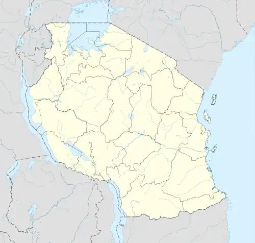
| Coordinates: 11°04′S 37°21′E / 11.067°S 37.350°E | |
| Country | Tanzania |
| Zone | Southern Highlands |
| Region | Ruvuma |
| Population (2022 census)[1] | |
| • Total | 48,000 |
| Time zone | UTC+3 (EAT) |
| Postcode | 576xx |
Tunduru[2] is a town in Tunduru District, Ruvuma Region, Tanzania, East Africa. It is the administrative seat for Tunduru District, and is administratively divided into two wards; Mlingoti West (Mlingoti Magharibi) and Mlingoti East (Mlingoti Mashariki).
Notes
- ↑ Citypopulation.de Population of cities & urban localities in Tanzania
- ↑ Tunduru (Approved) at GEOnet Names Server, United States National Geospatial-Intelligence Agency
11°04′S 037°21′E / 11.067°S 37.350°E
This article is issued from Wikipedia. The text is licensed under Creative Commons - Attribution - Sharealike. Additional terms may apply for the media files.