Udhna | |
|---|---|
Suburb | |
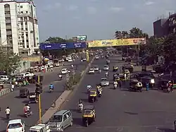 Busy Udhna-Navsari Corridor near Khavarnagar Junction | |
 Udhna Location in Gujarat, India 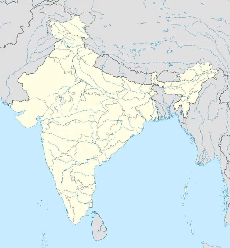 Udhna Udhna (India) | |
| Coordinates: 21°10′04″N 72°50′18″E / 21.1677°N 72.8382°E | |
| Country | |
| State | Gujarat |
| District | Surat District |
| Talukas | Choriyasi |
| Area | |
| • Total | 62 km2 (24 sq mi) |
| Elevation | 12 m (39 ft) |
| Population (2001) | |
| • Total | 407,970 |
| • Density | 6,600/km2 (17,000/sq mi) |
| Languages | |
| • Official | Gujarati, Hindi, Marathi |
| Time zone | UTC+5:30 (IST) |
| PIN | 394210 |
| Vehicle registration | GJ-5 |
| Nearest city | Surat |
| Website | gujaratindia |
Udhna (Also Called Udhana) is a Suburban area of Surat, located primarily on Surat-Navsari Highway in the Indian state of Gujarat.[1] Udhna is an Industrial Area in city of Surat, India. It is about 9 km from Surat central Railway Station and 14 km from Surat Airport.
Demographics
As of the 2001 census, Udhna had a population of 407,970. Males constitute 63% of the population and females 37%. Udhna has an average literacy rate of 74%, higher than the national average of 59.5%. Male literacy is 81%, and female literacy is 63%. In Udhna, 14% of the population is under 6 years of age.
See also
References
Wikimedia Commons has media related to Udhana.
This article is issued from Wikipedia. The text is licensed under Creative Commons - Attribution - Sharealike. Additional terms may apply for the media files.