Uljma
Уљма | |
|---|---|
 The Orthodox Church | |
 Uljma Location of Uljma within Serbia  Uljma Uljma (Serbia) 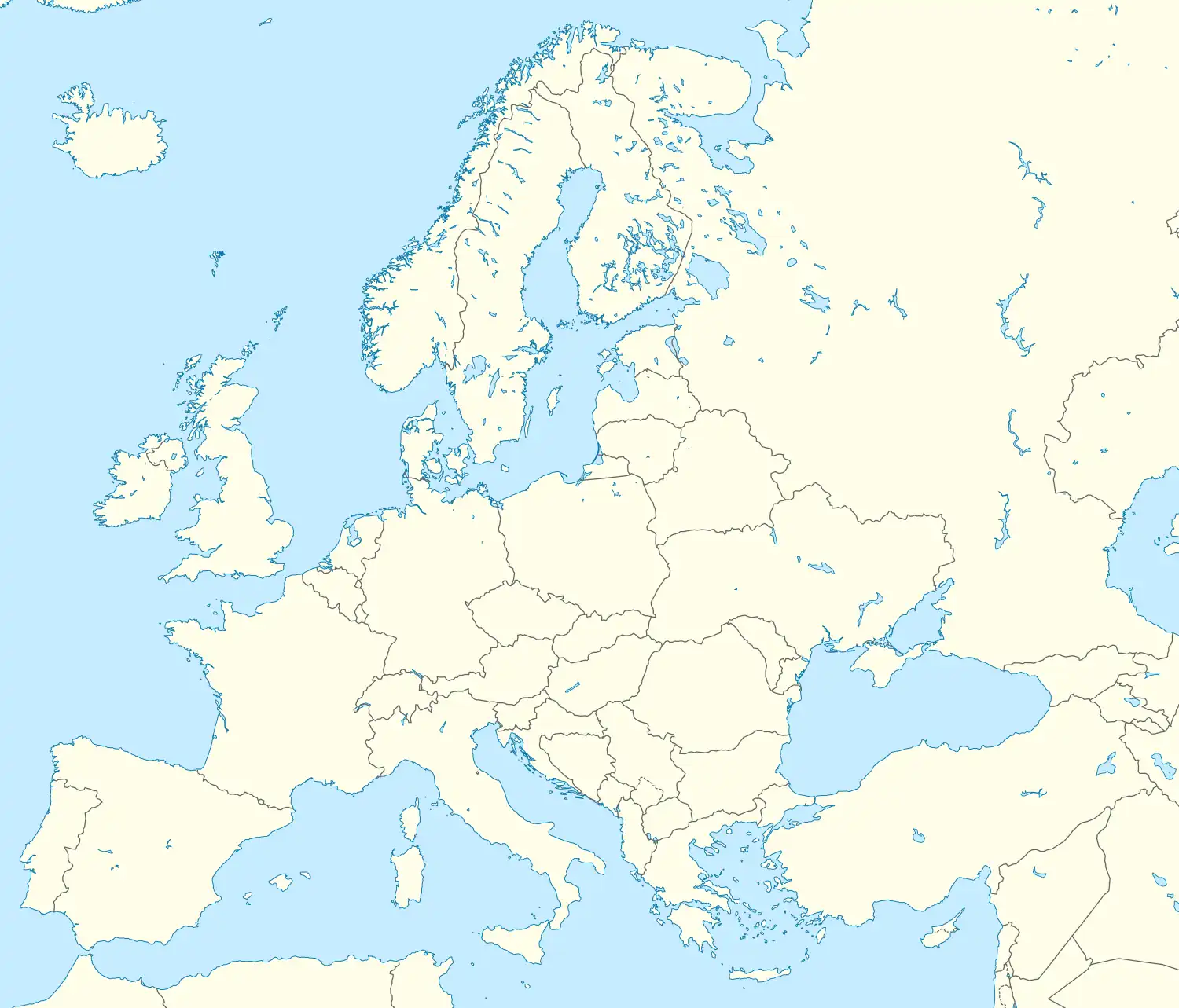 Uljma Uljma (Europe) | |
| Coordinates: 45°02′17″N 21°09′13″E / 45.03806°N 21.15361°E | |
| Country | Serbia |
| Province | Vojvodina |
| District | South Banat |
| Elevation | 89 m (292 ft) |
| Population (2022) | |
| • Uljma | 2,905[1] |
| Time zone | UTC+1 (CET) |
| • Summer (DST) | UTC+2 (CEST) |
| Postal code | 26330 |
| Area code | +381(0)13 |
| Car plates | VŠ |
Uljma (Serbian Cyrillic: Уљма; Hungarian: Homokszil) is a village in Serbia. It is situated in the Vršac municipality, in the South Banat District, Vojvodina province. The village has a Serb ethnic majority (83.01%) with a present Romanian minority (11.11%) and its population numbering 3,089 people (2011 census).
History
Bronze Age graves of steppe nomads was found in the village.[2]
Geography
Uljma is situated between villages Vlajkovac, Izbište and Nikolinci.
Historical population
- 1961: 4,237
- 1971: 4,391
- 1981: 4,115
- 1991: 3,961
- 2002: 3,598
- 2011: 3,089
- 2022: 2,905
References
- Slobodan Ćurčić, Broj stanovnika Vojvodine, Novi Sad, 1996.
See also
Wikimedia Commons has media related to Uljma.
This article is issued from Wikipedia. The text is licensed under Creative Commons - Attribution - Sharealike. Additional terms may apply for the media files.