Vila Verde dos Francos | |
|---|---|
 Coat of arms | |
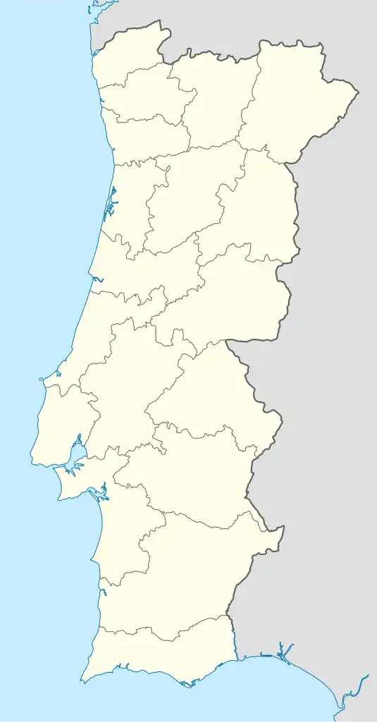 Vila Verde dos Francos Location in Portugal | |
| Coordinates: 39°09′14″N 9°06′47″W / 39.154°N 9.113°W | |
| Country | |
| Region | Centro |
| Intermunic. comm. | Oeste |
| District | Lisbon |
| Municipality | Alenquer |
| Area | |
| • Total | 28.13 km2 (10.86 sq mi) |
| Population (2011) | |
| • Total | 1,162 |
| • Density | 41/km2 (110/sq mi) |
| Time zone | UTC±00:00 (WET) |
| • Summer (DST) | UTC+01:00 (WEST) |
Vila Verde dos Francos (Portuguese pronunciation: [ˈvilɐ ˈveɾðɨ ðuʃ ˈfɾɐ̃kuʃ]) is a parish of the municipality of Alenquer, in western Portugal. The population in 2011 was 1,162,[1] in an area of 28.13 km².[2]
References
This article is issued from Wikipedia. The text is licensed under Creative Commons - Attribution - Sharealike. Additional terms may apply for the media files.