Yukhta
Юхта | |
|---|---|
Settlement | |
 Yukhta 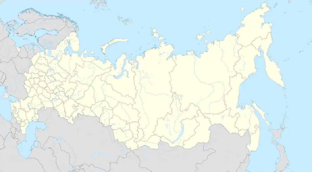 Yukhta | |
| Coordinates: 51°31′N 128°07′E / 51.517°N 128.117°E[1] | |
| Country | Russia |
| Region | Amur Oblast |
| District | Svobodnensky District |
| Time zone | UTC+9:00 |
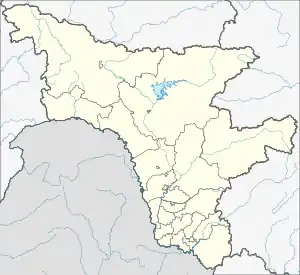
Yukhta (Russian: Юхта) is a rural locality (a settlement) in Dmitriyevsky Selsoviet of Svobodnensky District, Amur Oblast, Russia. The population was 457 as of 2018.[2] There are 9 streets.
Geography
Yukhta is located on the right bank of the Bolshaya Pyora River, 19 km north of Svobodny (the district's administrative centre) by road. Dmitriyevka is the nearest rural locality.[3]
References
This article is issued from Wikipedia. The text is licensed under Creative Commons - Attribution - Sharealike. Additional terms may apply for the media files.