Zacharovce | |
|---|---|
Village | |
 Municipal office | |
 Zacharovce Location of Zacharovce in the Banská Bystrica Region 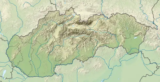 Zacharovce Location of Zacharovce in Slovakia | |
| Coordinates: 48°25′N 20°03′E / 48.417°N 20.050°E | |
| Country | |
| Region | Banská Bystrica |
| District | Rimavská Sobota |
| First mentioned | 1320 |
| Area | |
| • Total | 6.81[1] km2 (2.63[1] sq mi) |
| Elevation | 294[2] m (965[2] ft) |
| Population (2021) | |
| • Total | 382[3] |
| Time zone | UTC+1 (CET) |
| • Summer (DST) | UTC+2 (CEST) |
| Postal code | 979 01[2] |
| Area code | +421 47[2] |
| Car plate | RS |
| Website | www.e-obce.sk/obec/zacharovce/zacharovce.html |
Zacharovce (Hungarian: Zeherje) is a village and municipality in the Rimavská Sobota District of the Banská Bystrica Region of southern Slovakia. Located in the near of the main road I/50, connecting Zvolen and Košice the village is now more a living neighbourhood of Rimavská Sobota, where many citizens go for a work. The most important sightseeing is a gothic church from 15th century, later rebuilt.
References
- 1 2 "Hustota obyvateľstva - obce [om7014rr_ukaz: Rozloha (Štvorcový meter)]". www.statistics.sk (in Slovak). Statistical Office of the Slovak Republic. 2022-03-31. Retrieved 2022-03-31.
- 1 2 3 4 "Základná charakteristika". www.statistics.sk (in Slovak). Statistical Office of the Slovak Republic. 2015-04-17. Retrieved 2022-03-31.
- ↑ "Počet obyvateľov podľa pohlavia - obce (ročne)". www.statistics.sk (in Slovak). Statistical Office of the Slovak Republic. 2022-03-31. Retrieved 2022-03-31.
External links
 Media related to Zacharovce at Wikimedia Commons
- Official website

- Information about Zacharovce church
This article is issued from Wikipedia. The text is licensed under Creative Commons - Attribution - Sharealike. Additional terms may apply for the media files.