Březejc | |
|---|---|
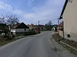 Centre of Březejc | |
 Flag  Coat of arms | |
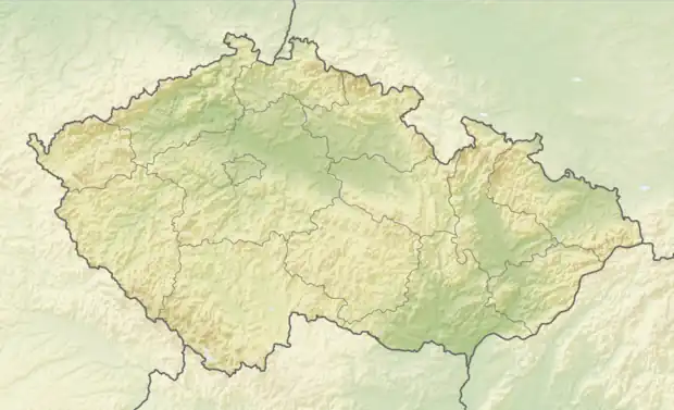 Březejc Location in the Czech Republic | |
| Coordinates: 49°20′47″N 16°5′29″E / 49.34639°N 16.09139°E | |
| Country | |
| Region | Vysočina |
| District | Žďár nad Sázavou |
| First mentioned | 1371 |
| Area | |
| • Total | 4.51 km2 (1.74 sq mi) |
| Elevation | 599 m (1,965 ft) |
| Population (2023-01-01)[1] | |
| • Total | 175 |
| • Density | 39/km2 (100/sq mi) |
| Time zone | UTC+1 (CET) |
| • Summer (DST) | UTC+2 (CEST) |
| Postal code | 594 01 |
| Website | www |
Březejc is a municipality and village in Žďár nad Sázavou District in the Vysočina Region of the Czech Republic. It has about 200 inhabitants.
Březejc lies approximately 27 kilometres (17 mi) south-east of Žďár nad Sázavou, 38 km (24 mi) east of Jihlava, and 147 km (91 mi) south-east of Prague.
References
Wikimedia Commons has media related to Březejc.
This article is issued from Wikipedia. The text is licensed under Creative Commons - Attribution - Sharealike. Additional terms may apply for the media files.