Bobrůvka | |
|---|---|
_-_centrum_obce_obr01.jpg.webp) Centre of Bobrůvka with the Church of Saint Bartholomew | |
 Flag  Coat of arms | |
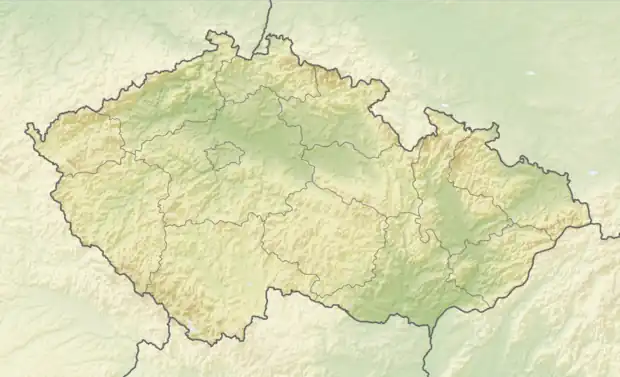 Bobrůvka Location in the Czech Republic | |
| Coordinates: 49°26′55″N 16°5′38″E / 49.44861°N 16.09389°E | |
| Country | |
| Region | Vysočina |
| District | Žďár nad Sázavou |
| First mentioned | 1262 |
| Area | |
| • Total | 7.80 km2 (3.01 sq mi) |
| Elevation | 530 m (1,740 ft) |
| Population (2023-01-01)[1] | |
| • Total | 240 |
| • Density | 31/km2 (80/sq mi) |
| Time zone | UTC+1 (CET) |
| • Summer (DST) | UTC+2 (CEST) |
| Postal code | 592 55 |
| Website | bobruvka |
Bobrůvka is a municipality and village in Žďár nad Sázavou District in the Vysočina Region of the Czech Republic. It has about 200 inhabitants.
Bobrůvka lies approximately 17 kilometres (11 mi) south-east of Žďár nad Sázavou, 37 km (23 mi) east of Jihlava, and 140 km (87 mi) south-east of Prague.
References
Wikimedia Commons has media related to Bobrůvka.
This article is issued from Wikipedia. The text is licensed under Creative Commons - Attribution - Sharealike. Additional terms may apply for the media files.