Habrovany | |
|---|---|
.JPG.webp) Habrovany Castle | |
 Flag  Coat of arms | |
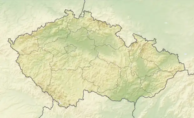 Habrovany Location in the Czech Republic | |
| Coordinates: 49°13′58″N 16°52′42″E / 49.23278°N 16.87833°E | |
| Country | |
| Region | South Moravian |
| District | Vyškov |
| First mentioned | 1350 |
| Area | |
| • Total | 5.51 km2 (2.13 sq mi) |
| Elevation | 314 m (1,030 ft) |
| Population (2023-01-01)[1] | |
| • Total | 906 |
| • Density | 160/km2 (430/sq mi) |
| Time zone | UTC+1 (CET) |
| • Summer (DST) | UTC+2 (CEST) |
| Postal code | 683 01 |
| Website | www |
Habrovany is a municipality and village in Vyškov District in the South Moravian Region of the Czech Republic. It has about 900 inhabitants.
Habrovany lies approximately 10 kilometres (6 mi) south-west of Vyškov, 20 km (12 mi) east of Brno, and 202 km (126 mi) south-east of Prague.
References
Wikimedia Commons has media related to Habrovany (Vyškov District).
This article is issued from Wikipedia. The text is licensed under Creative Commons - Attribution - Sharealike. Additional terms may apply for the media files.