Zelená Hora | |
|---|---|
 Municipal office | |
 Flag  Coat of arms | |
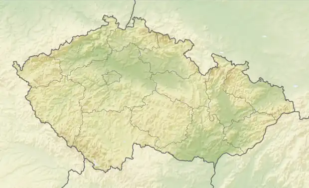 Zelená Hora Location in the Czech Republic | |
| Coordinates: 49°19′44″N 17°0′49″E / 49.32889°N 17.01361°E | |
| Country | |
| Region | South Moravian |
| District | Vyškov |
| Founded | 1763 |
| Area | |
| • Total | 2.96 km2 (1.14 sq mi) |
| Elevation | 368 m (1,207 ft) |
| Population (2023-01-01)[1] | |
| • Total | 319 |
| • Density | 110/km2 (280/sq mi) |
| Time zone | UTC+1 (CET) |
| • Summer (DST) | UTC+2 (CEST) |
| Postal code | 683 21 |
| Website | www |
Zelená Hora is a municipality and village in Vyškov District in the South Moravian Region of the Czech Republic. It has about 300 inhabitants.
Zelená Hora lies approximately 8 kilometres (5 mi) north of Vyškov, 33 km (21 mi) north-east of Brno, and 206 km (128 mi) south-east of Prague.
References
This article is issued from Wikipedia. The text is licensed under Creative Commons - Attribution - Sharealike. Additional terms may apply for the media files.