 | |
|---|---|
| Bóthar R601 | |
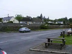 Church Road, Timoleague, on the R601 | |
| Route information | |
| Length | 4.7 km (2.9 mi) |
| Major junctions | |
| From | |
| Crosses River Arigideen | |
| To | Courtmacsherry |
| Location | |
| Country | Ireland |
| Highway system | |
The R601 road, also called the Timoleague–Courtmacsherry Road, is a regional road in Ireland, located in County Cork.[1][2][3]
References
- ↑ "R601 - Roader's Digest: The SABRE Wiki". sabre-roads.org.uk. Retrieved 5 February 2016.
- ↑ "S.I. No. 54/2012 - Roads Act 1993 (Classification of Regional Roads) Order 2012". irishstatutebook.ie. Retrieved 5 February 2016.
- ↑ "Localised flooding hits many areas". Retrieved 13 October 2016.
51°38′35″N 8°45′14″W / 51.643091°N 8.753856°W
This article is issued from Wikipedia. The text is licensed under Creative Commons - Attribution - Sharealike. Additional terms may apply for the media files.