| Fiskeløysvatnet (Norwegian) Fisklausvatnet (Norwegian) Guoledisjávrre (Lule Sami) | |
|---|---|
| Historic: Guolehisjávri (Lule Sami) | |
 Fiskeløysvatnet Location of the lake Show map of Nordland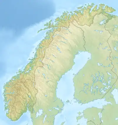 Fiskeløysvatnet Fiskeløysvatnet (Norway) Show map of Norway | |
| Location | Saltdal, Nordland |
| Coordinates | 67°04′26″N 15°50′17″E / 67.0739°N 15.8380°E / 67.0739; 15.8380 |
| Basin countries | Norway |
| Max. length | 2.5 kilometres (1.6 mi) |
| Max. width | 2.3 kilometres (1.4 mi) |
| Surface area | 2.28 km2 (0.88 sq mi) |
| Shore length1 | 13.39 kilometres (8.32 mi) |
| Surface elevation | 743 metres (2,438 ft) |
| References | NVE |
| 1 Shore length is not a well-defined measure. | |
Fiskeløysvatnet or Fisklausvatnet (Norwegian) or Guoledisjávrre (Lule Sami)[1] is a lake that lies in the municipality of Saltdal in Nordland county, Norway.[2] The 2.28-square-kilometre (0.88 sq mi) lake is located inside Junkerdal National Park, about 2 kilometres (1.2 mi) south of the border with Fauske Municipality.
See also
References
- ↑ "Stadnamn og skrivemåten for stadnamn" (in Norwegian). Kartverket. Retrieved 2019-01-27.
- ↑ "Fisklausvatnet" (in Norwegian). yr.no. Retrieved 2012-03-27.
This article is issued from Wikipedia. The text is licensed under Creative Commons - Attribution - Sharealike. Additional terms may apply for the media files.