| Kjelvatnet | |
|---|---|
 Kjelvatnet Location of the lake Show map of Nordland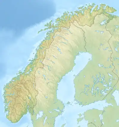 Kjelvatnet Kjelvatnet (Norway) Show map of Norway | |
| Location | Nordland, Norway |
| Coordinates | 68°11′14″N 17°10′35″E / 68.1873°N 17.1764°E / 68.1873; 17.1764 |
| Basin countries | Norway |
| Max. length | 2.8 kilometres (1.7 mi) |
| Max. width | 1.2 kilometres (0.75 mi) |
| Surface area | 2.6 km2 (1.0 sq mi) |
| Shore length1 | 8.48 kilometres (5.27 mi) |
| Surface elevation | 829 metres (2,720 ft) |
| References | NVE |
| 1 Shore length is not a well-defined measure. | |
Kjelvatnet is a lake in Narvik Municipality in Nordland county, Norway. The 2.6-square-kilometre (1.0 sq mi) lake lies at an elevation of 829 metres (2,720 ft) above sea level, just south of the Frostisen glacier, near the border with Sweden.[1]
See also
References
- ↑ Thorsnæs, Geir, ed. (2017-06-17). "Kjelvatnet – i Ballangen". Store norske leksikon (in Norwegian). Kunnskapsforlaget. Retrieved 2019-01-12.
This article is issued from Wikipedia. The text is licensed under Creative Commons - Attribution - Sharealike. Additional terms may apply for the media files.