| Hofreistæ | |
|---|---|
| Hofreistævatnet | |
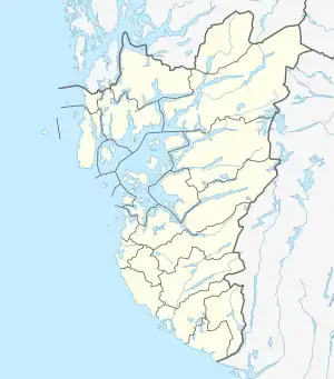 Hofreistæ Location of the lake Show map of Rogaland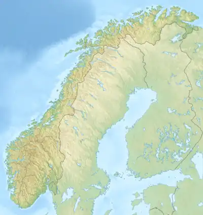 Hofreistæ Hofreistæ (Norway) Show map of Norway | |
| Location | Bjerkreim, Rogaland |
| Coordinates | 58°40′56″N 6°10′03″E / 58.6821°N 06.1674°E / 58.6821; 06.1674 |
| Primary inflows | Malmeisåna river |
| Primary outflows | Hofreistæåna river |
| Basin countries | Norway |
| Max. length | 2.9 kilometres (1.8 mi) |
| Max. width | 1.3 kilometres (0.81 mi) |
| Surface area | 2.66 km2 (1.03 sq mi) |
| Shore length1 | 8.11 kilometres (5.04 mi) |
| Surface elevation | 167 metres (548 ft) |
| References | NVE |
| 1 Shore length is not a well-defined measure. | |
Hofreistæ is a lake in the municipality of Bjerkreim in Rogaland county, Norway.[1] The 2.66-square-kilometre (1.03 sq mi) lake immediately south of the village of Øvrebygd. The lake is fed by a short river from the lakes Austrumdalsvatnet and Byrkjelandsvatnet. The river Hofreistæåna flows south out of this lake and eventually feeds into the river Bjerkreimselva.
See also
References
- ↑ "Hofreistæ, Bjerkreim (Rogaland)" (in Norwegian). yr.no. Retrieved 2016-05-01.
This article is issued from Wikipedia. The text is licensed under Creative Commons - Attribution - Sharealike. Additional terms may apply for the media files.