Not to be confused with Fjørvatnet.
| Fjærvatnet Indre Fjærvatn | |
|---|---|
 Fjærvatnet Location of the lake Show map of Nordland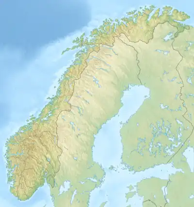 Fjærvatnet Fjærvatnet (Norway) Show map of Norway | |
| Location | Bodø, Nordland |
| Coordinates | 67°29′32″N 14°46′15″E / 67.4921°N 14.7707°E / 67.4921; 14.7707 |
| Basin countries | Norway |
| Max. length | 3.6 kilometres (2.2 mi) |
| Max. width | 1.1 kilometres (0.68 mi) |
| Surface area | 2.48 km2 (0.96 sq mi) |
| Shore length1 | 12.41 kilometres (7.71 mi) |
| Surface elevation | 6 metres (20 ft) |
| References | NVE |
| 1 Shore length is not a well-defined measure. | |
Fjærvatnet or Indre Fjærvatn is a lake that lies in the municipality of Bodø in Nordland county, Norway. The 2.48-square-kilometre (0.96 sq mi) lake is located about 3 kilometres (1.9 mi) south of the village of Kjerringøy, near the village of Fjære.[1]
See also
References
- ↑ "Fjærvatnet" (in Norwegian). yr.no. Retrieved 2012-03-09.
This article is issued from Wikipedia. The text is licensed under Creative Commons - Attribution - Sharealike. Additional terms may apply for the media files.